
I talked the wife into letting me use her camera on my trail run today. Since I am a true egomaniac and am convinced that everyone is as interesting in me as I am, I decided to share. Take a jog with me.
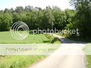
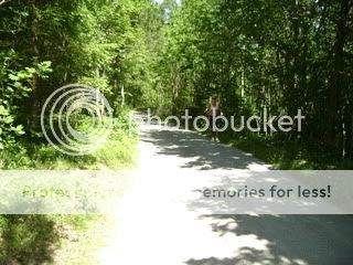
This is the start of my run, just a quick road trip up to the Lord's Gate.
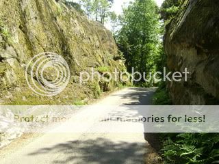
And this is the Lord's Gate. I find the name very apt as what lays on the other side is close to heaven. There are a lot of these cliff-hill structures in this part of Norway and it is very common to have a road run between them. This is a relatively major neighborhood road.
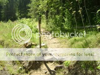
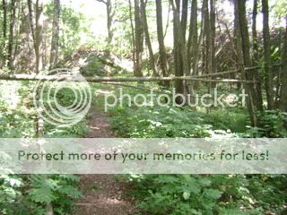
As expected, this is the beginning of the trail system, about 100 meters from the Gate.
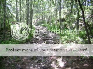
The trail looks friendly from the road, but it gets quite technical right away. High roots and rocks on a steep uphill for a few hundred meters.
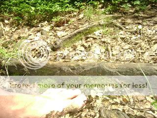
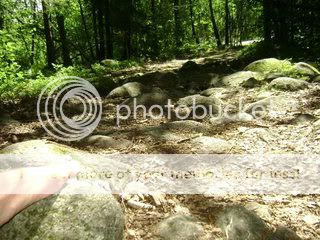
After crossing a small spring, taking time to play in the mud, you encounter a wider trail with brutal gravel, roots, and broken ceiling tiles used to fill in the mud holes in the spring.
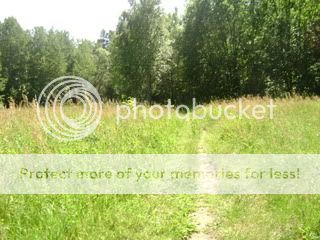
You are rewarded after a few hundred more meters with a nice meadow. I have to watch out for dog poo, as it is a popular dog area.
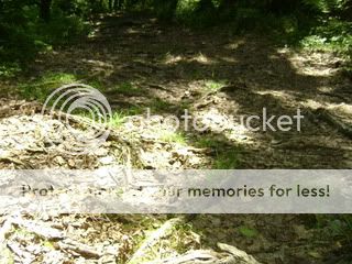
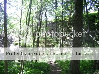
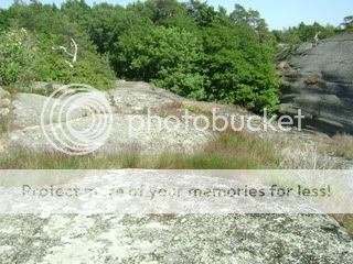
Over the next hill and back into the forest we encounter more tricky roots than have been seen yet.
And if those aren't challenging enough, you find a steep downhill into an obstacle course of rootiness.
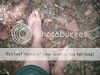
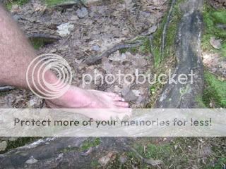
And no, these are not small roots.
And to keep you on (or off) tour toes we finish with boulder on a very steep section.
Finally, after a mile, I am back off the trail. Surely I can rest my weary feet now.
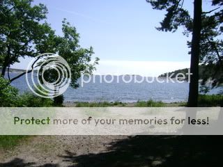
Sadly, another mile of gravel awaits. But it does lead you to stop number one: Grubesand beach, where Norwegians come to roast hot dogs.
No time for a swim, though, I have another mile of trails to go! Back into the forest with me.
And up a another cliff. They are calle åser, by the way.
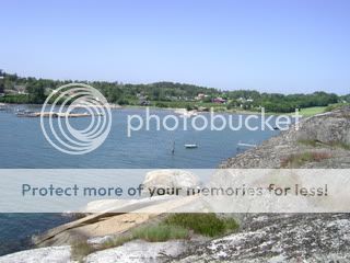
And what's on the other side of that åse? Why it's Auvetangen, overlooking the Mefjord...
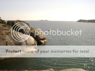
and of course Bendtserødkilen.
Whoever said that primitive man never ran on hard surfaces has never been on the top of an åse.
Time to turn around and run the route backwards now. All told, 3.25 miles, all barefoot. I did manage to get lost on the way back, as this is a new area for me. Next time, I will take pictures of the OTHER side of the peninsula, it is much worse.
This is the start of my run, just a quick road trip up to the Lord's Gate.
And this is the Lord's Gate. I find the name very apt as what lays on the other side is close to heaven. There are a lot of these cliff-hill structures in this part of Norway and it is very common to have a road run between them. This is a relatively major neighborhood road.
As expected, this is the beginning of the trail system, about 100 meters from the Gate.
The trail looks friendly from the road, but it gets quite technical right away. High roots and rocks on a steep uphill for a few hundred meters.
After crossing a small spring, taking time to play in the mud, you encounter a wider trail with brutal gravel, roots, and broken ceiling tiles used to fill in the mud holes in the spring.
You are rewarded after a few hundred more meters with a nice meadow. I have to watch out for dog poo, as it is a popular dog area.
Over the next hill and back into the forest we encounter more tricky roots than have been seen yet.
And if those aren't challenging enough, you find a steep downhill into an obstacle course of rootiness.
And no, these are not small roots.
And to keep you on (or off) tour toes we finish with boulder on a very steep section.
Finally, after a mile, I am back off the trail. Surely I can rest my weary feet now.
Sadly, another mile of gravel awaits. But it does lead you to stop number one: Grubesand beach, where Norwegians come to roast hot dogs.
No time for a swim, though, I have another mile of trails to go! Back into the forest with me.
And up a another cliff. They are calle åser, by the way.
And what's on the other side of that åse? Why it's Auvetangen, overlooking the Mefjord...
and of course Bendtserødkilen.
Whoever said that primitive man never ran on hard surfaces has never been on the top of an åse.
Time to turn around and run the route backwards now. All told, 3.25 miles, all barefoot. I did manage to get lost on the way back, as this is a new area for me. Next time, I will take pictures of the OTHER side of the peninsula, it is much worse.